Overview
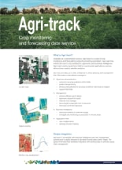
Agri-track is a suite of crop monitoring and forecasting products providing automated, near real time metrics for use in crop production, agronomy and business intelligence. The metrics scale from field to countrywide applications and are derived from weekly satellite analytics.
Agri-track enables agri-businesses to receive up-to- date crop monitoring and forecasting information using Earth observation (EO) satellite imagery from Sentinel-1 and Sentinel-2 and commercial EO data. Crop- specific monitoring and forecasting data includes regional yield estimates, growth stage, harvest timing, field-level leaf stress estimates and maps inter-seasonal change, this benefits growers and crop traders as well as NGOS and government by;
i) providing regular crop production data regardless of the weather for key commercial crops in developing countries
ii) through regional and national crop mapping for market intelligence and food security planning.
The product provides agri-businesses with aggregated information in formats they are familiar with (data, alerts, maps) that are compatible with their own corporate or crop management systems, enabling them to make near-real time decisions based on crop intelligence that scales from the field to countrywide. You can read about how our partners are using this service below.
Agri-track Use Cases
 Agri-track Flyer
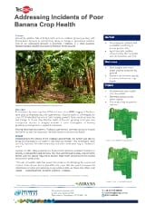 Crop Health
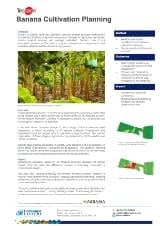 Cultivation Planning
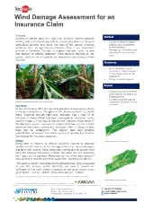 Wind Damage
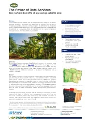 Multiple Benefits
 Drainage Problem