FLARE is a feasibility study that will seek to improve the efficiency of loss adjustment and claims management in forestry insurance. The project will establish the technical practicality as well as the economic and operational viability for using space and airborne data assets, within an integrated system.
The system will be used to improve asset estimation, loss adjustment and claims management processes within the forestry sector. It will also seek to define a roadmap towards the operational implementation of such a system, which has since become known as FLARE (Forest Loss Assessment through Remote Evaluation).
FLARE is about proposing a fully operational value chain. The FLARE system aims to service all elements and user groups of the insurance policy chain, from policy inception to claims management.
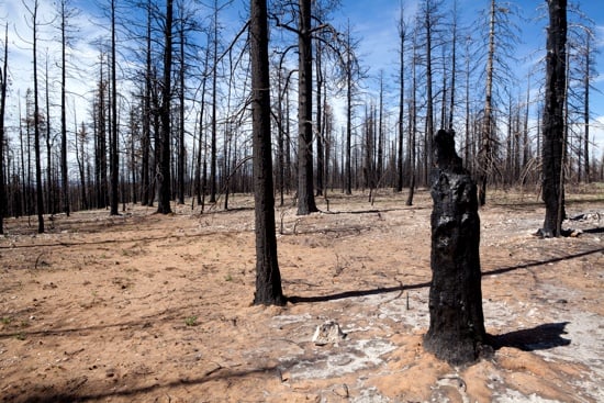
The need for a system like FLARE is characterised by the significant losses incurred in forest claims and the inefficiencies within claims processes that can reduce incentive for insurance cover uptake by forestry owners. The goal of an operational system such as FLARE will be to play a significant role in both reducing the cost of assessment as a percentage of premiums, speed up the process and improve operational transparency within the sector.