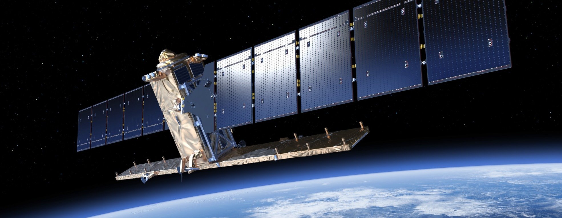

Satellite remote sensing in conflict zones
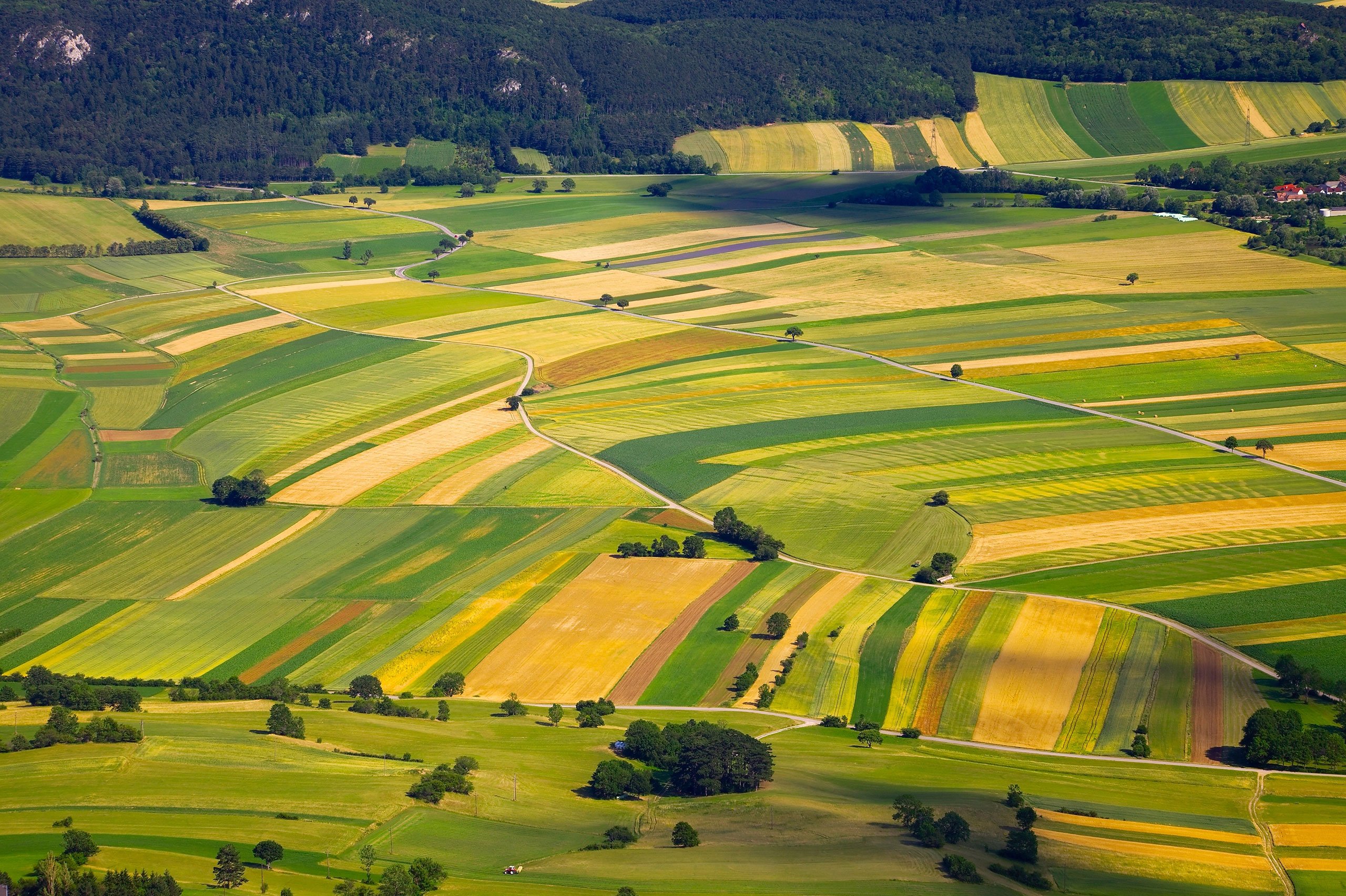
Using remote sensing to understand how agricultural production has changed following the civil war in Libya that began in 2011 and the corresponding collapse of government agricultural subsidies in the region.