Feeding the World…sustainably
With the world’s population projected to grow to approximately 10.9 billion by 2100 and with the recent COVID-19 pandemic, the world’s food system is under increasing pressure. We need to plan to feed more people without overwhelming the planet.
Solution
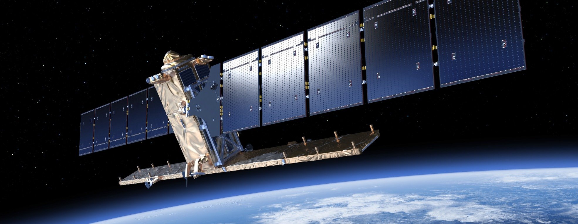
Satellite imagery can help safeguard global food supply and support sustainability. It provides a means to:
- Assess fields at both local and national scales
- Monitor growth uniformity
- Identify weeds, pests and diseases
- Diagnose nutrient and/or water deficiencies
- Delineate and quantify weather damage (e.g. wind damage)
Environment Systems has been working with the agricultural sector for many years, providing data to governments, research institutes and growers. Here we touch on just three of the many different crops we are mapping from space:
- Oil Seed Rape (OSR)
- Bananas
- Soybean
1. Oil Seed Rape

Overview
The familiar, bright yellow oil seed rape crop is grown for the production of animal feed, vegetable oil and biodiesel. In the 1970s, the UK produced a few thousand tonnes. Today, 2.2 million tonnes of OSR are produced annually in the UK!
Despite being an important break crop, OSR is not particularly sustainable. This is because it is extremely vulnerable to a large number of pests and diseases which are generally treated with a range of fungicides and insecticides. Furthermore, in order to maximise yields and profitability, farmers will often use high applications of nitrogen fertiliser (increases risk of nutrient pollution in local waterways). However, knowing where OSR is can help land managers to reduce risks of water pollution.
Capability
Environment Systems has developed a method for identifying oil seed rape fields that uses a time-series of Sentinel-1 and Sentinel-2 satellite imagery. This makes it possible to estimate yields/prices, identify areas (waterways) at risk from OSR production and track production at local and national scales. You can view some of the areas we have mapped in 2019 and 2020 by viewing the map below.
Our OSR products for 2019 and 2020 are available to purchase at £0.40/km². Find out more here, or contact us to get the data!
2. Bananas

Overview
Bananas are the world’s favorite fruit in terms of consumption quantity, and are one of the most important staple foods. In addition, increasing health consciousness has led to increasing demand for bananas.
Banana plants are perennial (live more than two years) and take 9 to 12 months to produce fruit ready for harvest. For this reason, banana plants are not set in a rotation but are commonly grown in large plantations across Latin America. This requires large investment in infrastructure and technology to support irrigation, harvesting and transportation of the bananas.
Banana plantations will usually have high levels of in-field variation; a result of the different ages of the plants, environmental factors and management practices. A time series of satellite imagery supports banana managers to identify low performing areas and target management.
Capability
Environment Systems is currently mapping bananas in 14 countries covering an area of 9 million hectares! We are also providing crop health analysis to banana growers to support their management. Read more here.
3. Soybean

Overview
Soybean is a legume, native to East Asia, that is a high-protein food consumed by both humans and animals. It has been grown for centuries although over the last few decades, production has increased dramatically due to its use in animal feed and an increased worldwide demand for meat. More recently, soybeans popularity as a ‘superfood’ has further contributed towards its demand.
The growing demand for soybean has led to an increase in deforestation in LATAM. For example, the Chaco Forest which extends over parts of Argentina, Paraguay and Bolivia is considered a biodiversity hotspot. Earth observation provides a means to map and monitor such activities.
Capability
Environment Systems has developed a method for mapping soybean fields that uses a time-series of Sentinel-1 satellite imagery. With an accuracy of 95%, we have mapped over 197000 km² in Brazil and Argentina – that’s almost ten times the size of Wales!
Read more here.