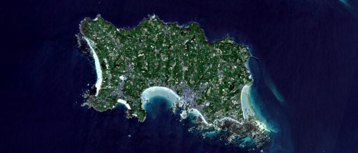
Prioritising sites for woodland investment

Summary Identified woodland creation opportunities across Gwent Created a tool to prioritise woodlands for enhancement Co-created concise management plans through virtual workshops Outcomes A 10-year Priority Planting Plan to guide tree planting A user-friendly woodland ranking system A tool that ascertains the investment priority of woodlands Benefits Strategic roadmap for sustainable woodland development Facilitate access […]

Land suitability for climate threatened coffee

Summary Climate change is already causing problems for coffee production in Colombia. Land suitability modelling can identify climate vulnerable farming areas for targeted mitigation. Outcomes Areas of coffee growing regions that are most susceptible to climate impacts are located. The causes of changes in land suitability have been identified. Benefits The approach can be applied […]

The Ashdown Forest is an ancient area of open heathland occupying the highest ridge of the High Weald in East Sussex

Using Remote Sensing to map the Ashdown Forest SAC

Context Requirement for a detailed habitat map To monitor change and plan mitigation To ensure sustainable future management Outcomes Object based analysis of satellite imagery Ecological rules based approach Verification and adjustment via targeted ground based surveys Benefits Fast repeatable approach Maps easy to update Monitor habitat change over time Context Environment Systems was commissioned […]

Three crops we’re mapping from space!

Feeding the World…sustainably With the world’s population projected to grow to approximately 10.9 billion by 2100 and with the recent COVID-19 pandemic, the world’s food system is under increasing pressure. We need to plan to feed more people without overwhelming the planet. Solution Satellite imagery can help safeguard global food supply and support sustainability. It […]

urban and rural landscape

Ecosystem Services – Projects and case studies

Environment Systems has developed new methods for modelling and mapping Ecosystem Services at regional and national scales. Here are some of our case studies and projects: Environment Systems was commissioned to use the ‘Norfolk Living Map’ to undertake a county wide ecological connectivity analysis to support future Green Infrastructure policy preparation and habitat restoration efforts. […]

Benefits of SENCE natural capital evaluation

Monitoring – Projects and case studies

Monitoring is an important part of assessing the effectiveness of any land management intervention or policy objective. Environment Systems has helped design and implement a wide range of informative, successful monitoring programmes. Here are a few: Environment Systems was commissioned by ECUS Ltd. on behalf of Wealdon District Council to create a detailed habitat map […]