Ecological networks in action: Mapping resilience in Gwent

Summary Gwent requires comprehensive spatial data for nature recovery decision-making Produced accurate and up-to-date ecological network maps across Gwent Delivered an interactive map of Gwent’s ecological landscape Outcomes Created practical tools for conservation and resilience planning Identified existing ecological networks & opportunities for enhancement Helping identify key areas for nature recovery Benefits Democratising access to […]
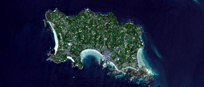
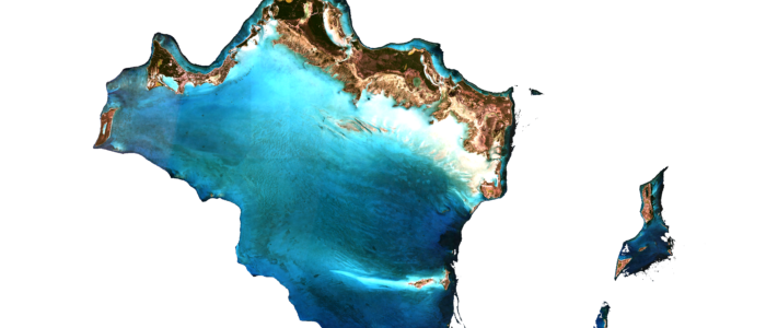
Sentinel-2 satellite image showing the island of Jersey

Supporting the journey to Net Zero in Jersey

Summary Jersey faces serious climate-induced threats including heatwaves and sea-level rise Its Net Zero project targets a carbon-neutral future by 2050 Created a baseline of habitat and carbon storage to aid climate resilience Outcomes Established Jersey’s first carbon storage baseline Helping identify key areas for nature recovery Providing insights to shape an emission offset strategy […]

Prioritising sites for woodland investment

Summary Identified woodland creation opportunities across Gwent Created a tool to prioritise woodlands for enhancement Co-created concise management plans through virtual workshops Outcomes A 10-year Priority Planting Plan to guide tree planting A user-friendly woodland ranking system A tool that ascertains the investment priority of woodlands Benefits Strategic roadmap for sustainable woodland development Facilitate access […]

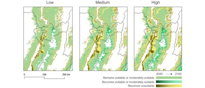
Land suitability for climate threatened coffee

Summary Climate change is already causing problems for coffee production in Colombia. Land suitability modelling can identify climate vulnerable farming areas for targeted mitigation. Outcomes Areas of coffee growing regions that are most susceptible to climate impacts are located. The causes of changes in land suitability have been identified. Benefits The approach can be applied […]

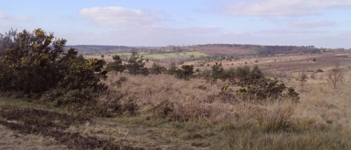
The Ashdown Forest is an ancient area of open heathland occupying the highest ridge of the High Weald in East Sussex

Using Remote Sensing to map the Ashdown Forest SAC

Context Requirement for a detailed habitat map To monitor change and plan mitigation To ensure sustainable future management Outcomes Object based analysis of satellite imagery Ecological rules based approach Verification and adjustment via targeted ground based surveys Benefits Fast repeatable approach Maps easy to update Monitor habitat change over time Context Environment Systems was commissioned […]